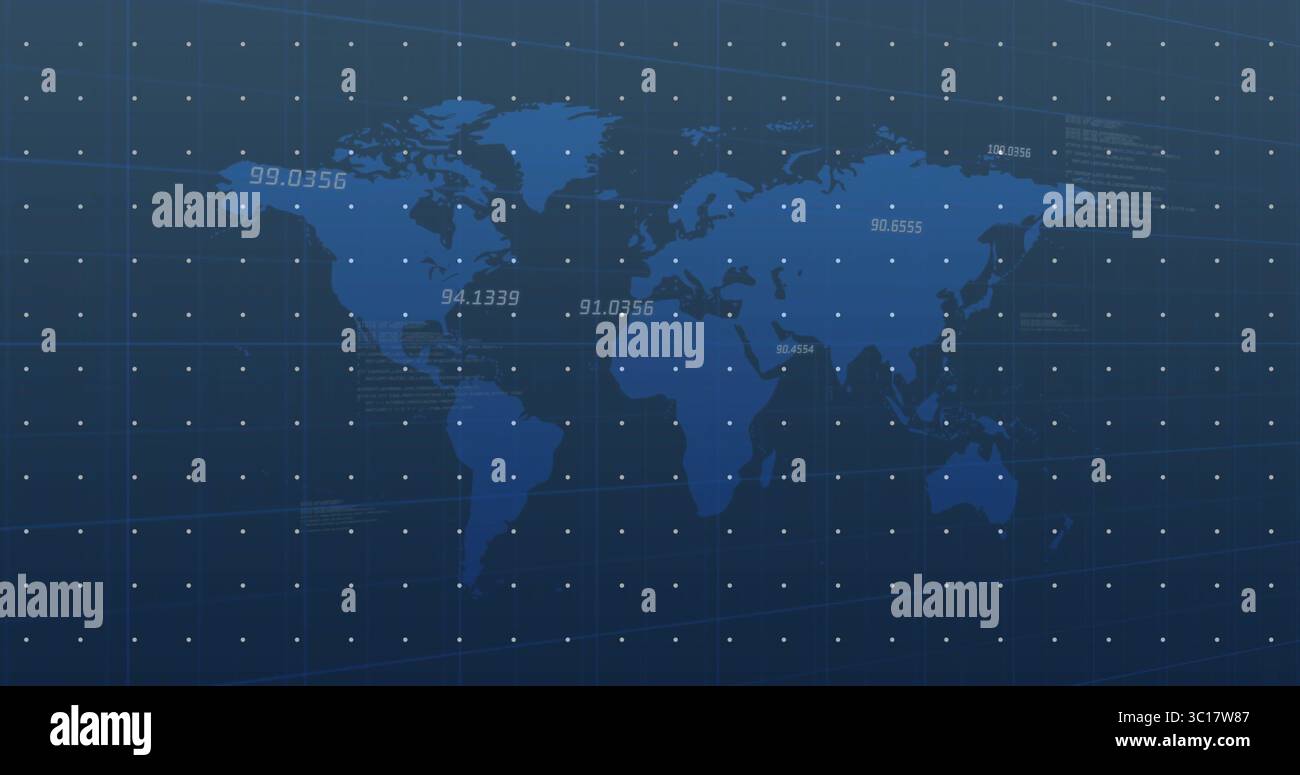
Displaying vector world map with grid overlay on analytics dashboard and floating-point data labels
RFID:Image ID:3C17W87
Image details
Contributor:
Wavebreakmedia Ltd IFE-250722Image ID:
3C17W87File size:
25.3 MB (198.1 KB Compressed download)Releases:
Model - no | Property - noDo I need a release?Dimensions:
4096 x 2160 px | 34.7 x 18.3 cm | 13.7 x 7.2 inches | 300dpiDate taken:
25 March 2025Location:
Cork, IrelandMore information:
Displaying vector world map with grid overlay on analytics dashboard and floating-point data labels. Geospatial, data visualization, digital interface, analytics, schematic, technical, connectivity